2026 · GS Paper 1 · Q13 · 15 marks
The model of planned economy was adopted in India to address the regional imbalances left behind by colonial rule. Comment.
In short
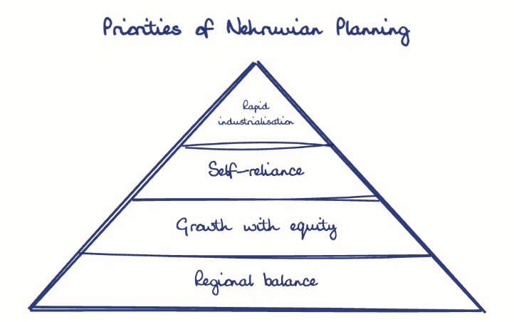
Planning did aim to reduce colonial regional imbalances, but regional balance ranked below rapid industrialisation and self-reliance. Steel plants at Bhilai, Rourkela and Durgapur and the 1969 Gadgil formula helped, while freight equalisation and the Green Revolution widened gaps.
Model answer
Ghissu Editorial · Verified 4 Oct 2026 · 270 words
Stated objective
The Industrial Policy Resolution of 1956 called for progressively reducing regional disparities, and the Third Plan made balanced regional development an explicit goal.
Hinterland steel
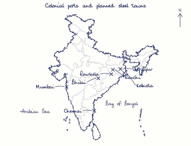
The Second Plan placed steel plants at Bhilai, Rourkela and Durgapur in the backward mineral belt rather than in the colonial port cities.
Needs-based transfers
The 1969 Gadgil formula weighted central assistance for backwardness and created special category states.
Growth came first
The Mahalanobis model prioritised heavy industry and self-reliance, so national capacity, not regional equity, decided most investment.
Freight equalisation
The 1952 policy eroded the mineral advantage of Bihar, Odisha and West Bengal until 1993.
Green Revolution skew
Punjab, Haryana and western Uttar Pradesh pulled ahead, private capital stayed in Maharashtra and Gujarat, and Ashish Bose's term BIMARU in the 1980s showed persisting backwardness.
Outcome targeting
The Aspirational Districts Programme (2018) and need-based Finance Commission formulas can direct effort to the most backward pockets.
This model answer is indicative and the model can make mistakes; please verify key facts independently.
Practise this question
1Get the answer sheet
Sized for this question.
2Write your answer
Timed, by hand.
3Get it marked
Your score and what to fix.
This chapter in the exam
Administrative and Socio-Economic Reorganization4 questions
Asked in 3 of 14 sittings since 2013
- 2018Discuss whether formation of new states in recent times is beneficial or not for the economy of India.
- 2013Critically discuss the objectives of Bhoodan and Grain-dan Movements initiated by Acharya Vinoba Bhave and their success.
All 4 questions, sorted by sub-topic, with model answers and practice.
Question from the official UPSC Civil Services (Main) Examination 2026 paper. Answer written by Ghissu's engine and checked against our editorial standards. Found an error? Tell us and we correct it within 48 hours.