2016 · GS Paper 1 · Q17 · 12 marks
Major cities of India are becoming vulnerable to flood conditions. Discuss.
In short
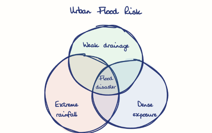
Major Indian cities are becoming flood-prone because heavier, shorter rain meets encroached lakes and wetlands, concrete sprawl, outdated drains and growing populations on flood plains, under fragmented governance. The 2015 Chennai floods caused about $3 billion in damage.
Model answer
Ghissu Editorial · Verified 4 Oct 2026 · 265 words
Heavier, shorter rain
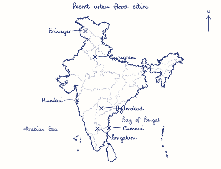
Extreme bursts like Mumbai's 944 mm at Santacruz on 26 July 2005 are becoming more frequent and overwhelm old drainage.
Lost lakes and wetlands
Chennai built over its tanks and the Pallikaranai marsh, and Bengaluru and Hyderabad encroached their lakes.
Concrete and choked drains
Paving cuts infiltration, and Mumbai's colonial-era drains were designed for only 25 mm an hour.
Backwater
High tides in Mumbai and Chennai and a swollen Jhelum in Srinagar block outfalls just when rain peaks.
Rising exposure
Urban India reached 31% of the population in Census 2011, much of it on low-lying flood plains like the Adyar's.
The poor and infrastructure
Slums along drains and riverbanks suffer first, with disease following, and Chennai airport's closure in 2015 showed how floods become economic shocks.
Governance lags
NDMA's 2010 urban flood guidelines remain weakly applied, though Mumbai's post-2005 pumping stations show investment helps.
This model answer is indicative and the model can make mistakes; please verify key facts independently.
Practise this question
1Get the answer sheet
Sized for this question.
2Write your answer
Timed, by hand.
3Get it marked
Your score and what to fix.
This chapter in the exam
Natural Hazards and Disasters6 questions
Asked in 5 of 14 sittings since 2013
- 2023Comment on the resource potentials of the long coastline of India and highlight the status of natural hazard preparedness in these areas.
- 2021Differentiate the causes of landslides in the Himalayan region and Western Ghats.
All 6 questions, sorted by sub-topic, with model answers and practice.
Question from the official UPSC Civil Services (Main) Examination 2016 paper. Answer written by Ghissu's engine and checked against our editorial standards. Found an error? Tell us and we correct it within 48 hours.