2017 · GS Paper 3 · Q8 · 10 marks
Not many years ago, river linking was a concept but it is becoming a reality in the country. Discuss the advantages of river linking and its possible impact on the environment.
In short
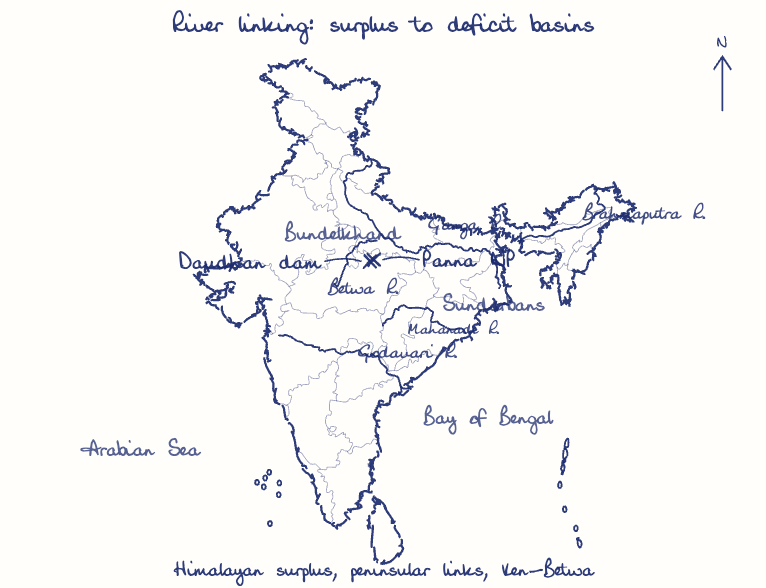
River linking promises irrigation, drinking water, flood moderation and hydropower, but it risks submerged forests, starved deltas and disturbed river ecology. The Ken-Betwa project shows both sides: 10.62 lakh hectares of irrigation against about 9,000 hectares submerged, much of it in Panna Tiger Reserve.
Model answer
Ghissu Editorial · Verified 4 Oct 2026 · 290 words
Irrigation and food security
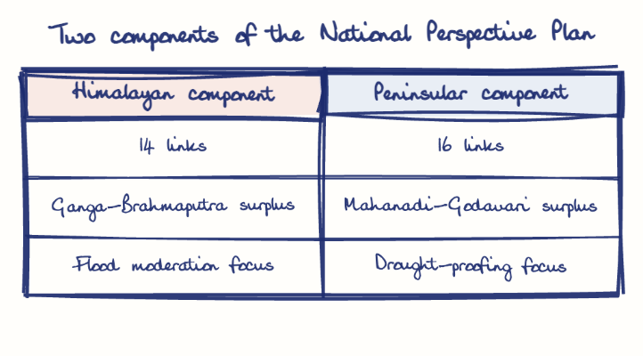
The National Water Development Agency estimates about 35 million hectares of extra irrigation, and Ken-Betwa alone targets 10.62 lakh hectares in drought-prone Bundelkhand.
Drinking water
Ken-Betwa plans water for about 62 lakh people, and the Pattiseema lift scheme (2015) already carries Godavari water to the Krishna delta.
Flood moderation and power
Diverting monsoon surplus can ease floods in Bihar and Assam, and the plan foresees about 34,000 MW of hydropower.
Forest and wildlife loss
The Daudhan dam will submerge about 9,000 hectares, much of it in Panna Tiger Reserve, and fell an estimated 23 lakh trees.
Starved deltas
Lower downstream flow and trapped sediment can shrink deltas, push salinity inland and weaken mangroves such as the Sundarbans.
Altered river ecology
Mixing basins can transfer species and pollutants and threaten the gharial habitat on the Ken.
Climate risk
A 2023 IIT Bombay study in Nature Communications warned that large transfers could weaken September rainfall in dry regions.
This model answer is indicative and the model can make mistakes; please verify key facts independently.
Practise this question
1Get the answer sheet
Sized for this question.
2Write your answer
Timed, by hand.
3Get it marked
Your score and what to fix.
This chapter in the exam
Conservation19 questions
Asked in 11 of 14 sittings since 2013
- 2026Discuss the aim and goals of Kunming-Montreal global biodiversity framework. Mention India's commitments and initiatives to achieve the goals and targets of this framework giving suitable examples. (Answer in 150 words)
- 2025What is Carbon Capture, Utilization and Storage (CCUS) ? What is the potential role of CCUS in tackling climate change ?
All 19 questions, sorted by sub-topic, with model answers and practice.
Question from the official UPSC Civil Services (Main) Examination 2017 paper. Answer written by Ghissu's engine and checked against our editorial standards. Found an error? Tell us and we correct it within 48 hours.