Why is monitoring and weather forecasting crucial ? Discuss the role of ISRO in the weather prediction and capabilities in Disaster management. Add a note on Mission NISAR.
In short
Weather monitoring is crucial because timely forecasts protect lives, farms and coasts from extreme events, and ISRO's INSAT-3DR, INSAT-3DS and Oceansat-2 data feed IMD models and early warning systems. NISAR, a NASA-ISRO radar mission launched on GSLV-F16 from Sriharikota in July 2025, gives all-weather imaging of floods, landslides and earthquakes.
Model answer
Ghissu Editorial · Verified 4 Oct 2026 · 300 words
ISRO’s Satellite Infrastructure
ISRO’s INSAT-3DR, INSAT-3DS, Cartosat and Oceansat-2 satellites provide continuous earth observation data critical for weather monitoring and disaster management, launched from Sriharikota, enabling precise ocean and atmospheric observations.
Improved Forecast Accuracy
IMD’s forecast accuracy improved by 40% over the last decade, supported by ISRO data and the Bharat Forecasting System2’s 6 km resolution, reducing cyclone fatalities to near zero and improving lead times for warnings.
Disaster Management Enhancements
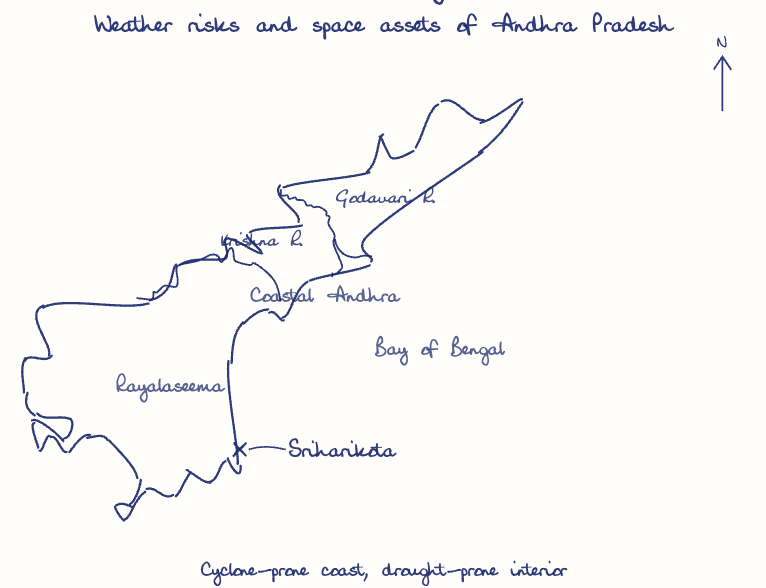
The MHEW-DSS3 system uses satellite data for real-time GIS-based warnings covering 80% of the population, improving evacuation and response times in Andhra Pradesh, especially in vulnerable coastal districts.
Mission NISAR
The NASA-ISRO radar satellite, launched from Sriharikota in July 2025, images Earth through cloud and darkness, aiding flood, landslide and earthquake damage assessment.
Sectoral Benefits in Andhra Pradesh
Weather advisories based on ISRO data have helped farmers in Rayalaseema’s drought-prone areas optimize irrigation and cropping, while aiding water management in Krishna and Godavari basins, mitigating climate risks.
Expand Integration and R&D
Strengthen ISRO satellite and ground network synergy in Andhra Pradesh and invest in AI-driven forecasting models and indigenous radar systems to enhance prediction accuracy and lead time.
Enhance Public Engagement
Promote citizen science and digital platforms for weather data crowdsourcing, with training for local disaster authorities in Andhra Pradesh to improve preparedness and response.
This model answer is indicative and the model can make mistakes; please verify key facts independently.
Practise this question
1Get the answer sheet
Sized for this question.
2Write your answer
Timed, by hand.
3Get it marked
Your score and what to fix.
This chapter in the exam
Indian Space Programme, ISRO, Satellites and DRDO23 questions
Asked in 8 of 8 sittings since 2008
Most tested: Remote sensing and satellite applications for agriculture, natural resources, and rural development.
- 2025Describe the role of the Indian Remote Sensing (IRS) satellite programme. How do these satellites assist in natural resource management?
- 2025Discuss the vision and mission of DRDO? Describe the role of DRDO in the contribution to national development.
All 23 questions, sorted by sub-topic, with model answers and practice.
Question from the official APPSC Group-I Mains 2023 paper. Answer written by Ghissu's engine and checked against our editorial standards. Found an error? Tell us and we correct it within 48 hours.